Wazeopedia Nederland:Kadastrale kaart/en: verschil tussen versies
Uit Wazeopedia Nederland
wazeopedia>WTranlatebot Bijgewerkt vanwege een nieuwe basisversie van de bronpagina |
k 1 versie geïmporteerd |
(geen verschil)
| |
Huidige versie van 22 feb 2025 om 09:49
Kadastrale kaart
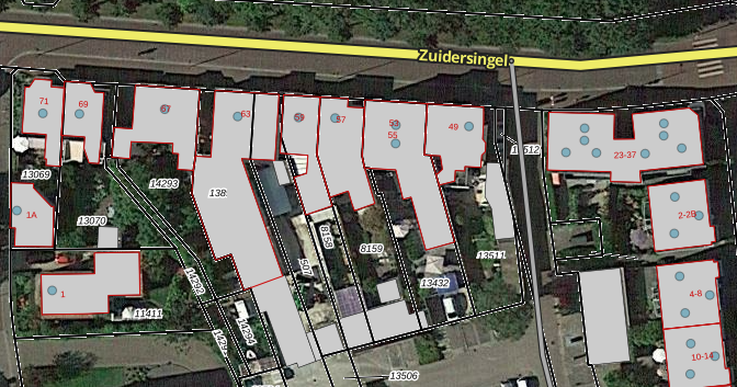
The Kadastrale kaart is one of the maps that can be loaded with the OpenMaps script. This map contains the outlines of the parcels with parcel number (black) and house number (red).

