Translations:Waze Map Editor Legend/13/en
Uit Wazeopedia Nederland
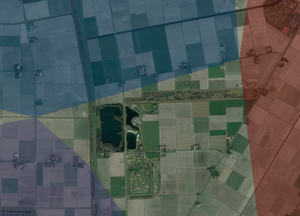
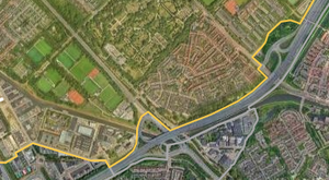
Areas
City polygons derived from the place names of the roads present in these areas. For this image, enable the map layer City polygons.
The yellow-tinted area is an area with restriction. For this image, enable the map layer Areas with restrictions.
GPS tracks. For more information, see the GPS page. For this information, enable the map layer GPS Tracks.