Wazeopedia Nederland:Bridges/en
Bridges
Bridges that are important for orientation and are regularly used in communication about, for example, road closures can be added to the map as a place.
We do not register ecoducts, nature bridges or bicycle bridges over highways. If such a bridge runs over a lower road type, it can be drawn as an orientation point.
Place
A Bridge is a place in the category Transport.
As a standard, rivers and canals are drawn continuously, without stopping and starting before and after a crossing road. This gives the best visual result in the app.
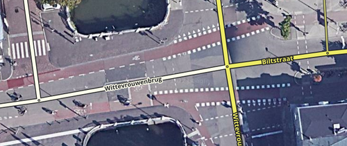
A bridge place is optional. It is not necessary to create a bridge place for roads that cross rivers and canals. Use a Bridge place where multiple roads use one bridge to cross a river of canal. Without the Bridge place the app will show water between the roads, with the bridge it also looks like one bridge. By the way, places are only shown in the app from 500 m2 and bigger.
Street name

- In the alternative name of the segment, if the segment only includes the actual bridge, the bridge name may always be indicated.
- Do not split segments unnecessarily. Certainly do not split just before an exit to create a separate bridge segment.
